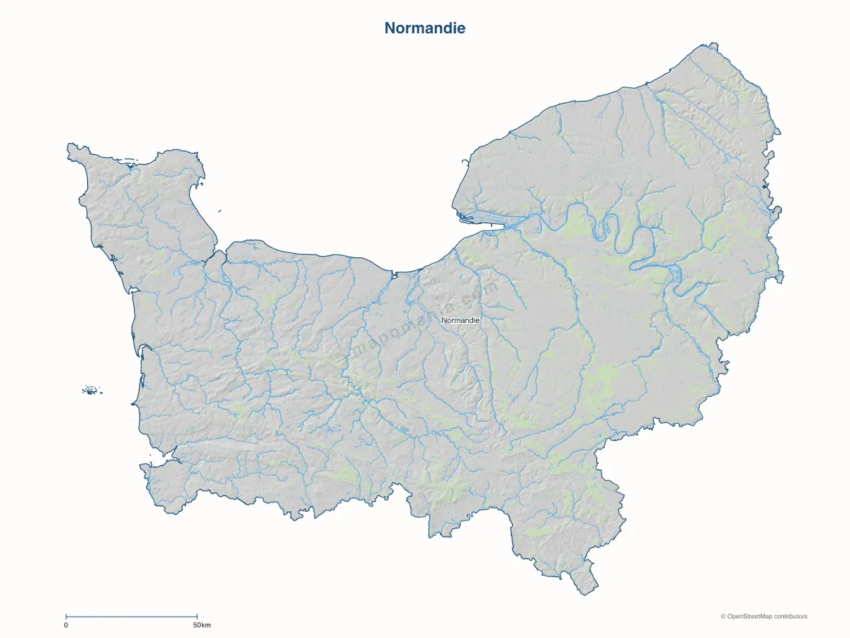
Carte de la région Normandie
5 départements · 2 644 communes
La Normandie est une région administrative française. Située dans le nord-ouest de la France, elle est bordée par la Manche. Elle s'étend sur 29 906 km2 et compte, en 2023, 3 345 842 habitants.
Président du Conseil régional : Hervé Morin · Lire sur Wikipedia

5
Départements
3 345 842
Habitants
30 064 km²
Superficie
La région Normandie regroupe 5 départements et 2 644 communes, pour 3 345 842 habitants sur 30 064 km². Son chef-lieu administratif est Rouen. Les principales aires urbaines de la région sont structurées autour Métropole Rouen Normandie.
Générateur en ligne
Personnaliser et télécharger la carte de la région Normandie
Aperçu pré-rempli sur la région. Ouvrez le générateur pour choisir le niveau de détail (silhouette, départements, communes), les couleurs, puis commander.
Départements de la région
Principales communes de la région Normandie
Le Havre
166 687 habitants
Rouen
117 662 habitants
Caen
109 400 habitants
Cherbourg-en-Cotentin
78 258 habitants
Évreux
49 360 habitants
Saint-Étienne-du-Rouvray
29 518 habitants
Sotteville-lès-Rouen
29 003 habitants
Dieppe
28 496 habitants
Le Grand-Quevilly
25 789 habitants
Alençon
25 490 habitants
Métropoles et grandes intercommunalités
Métropole
Métropole Rouen Normandie
500 703 habitants
Communauté urbaine
CU Caen la Mer
277 248 habitants
Communauté urbaine
CU Le Havre Seine Métropole
266 929 habitants
Communauté d'agglomération
CA du Cotentin
178 684 habitants
Communauté d'agglomération
CA Agglo du Pays de Dreux
116 484 habitants
Communauté d'agglomération
CA Evreux Portes de Normandie
112 285 habitants
Communauté d'agglomération
CA Seine-Eure
102 892 habitants
Communauté d'agglomération
CA Mont-Saint-Michel-Normandie
87 390 habitants
Communauté d'agglomération
CA Seine Normandie Agglomération
82 981 habitants
Communauté d'agglomération
CA Caux Seine Agglo
77 968 habitants
Communauté d'agglomération
CA Saint-Lô Agglo
76 674 habitants
Communauté d'agglomération
CA Lisieux Normandie
72 683 habitants